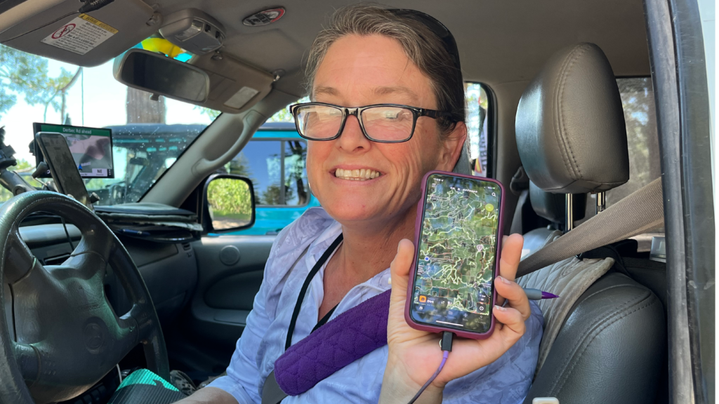
July 9, 2022 – USA: Navigation and route planning for the Nomad Overland Virtual Adventure Rally can be challenging, as Teams must create their own routes following the parameters outlined in the Competition Guide. While teams can use a variety of resources to develop their plan, they rely on OnX Offroad for multiple navigation and scouting tasks during the event.
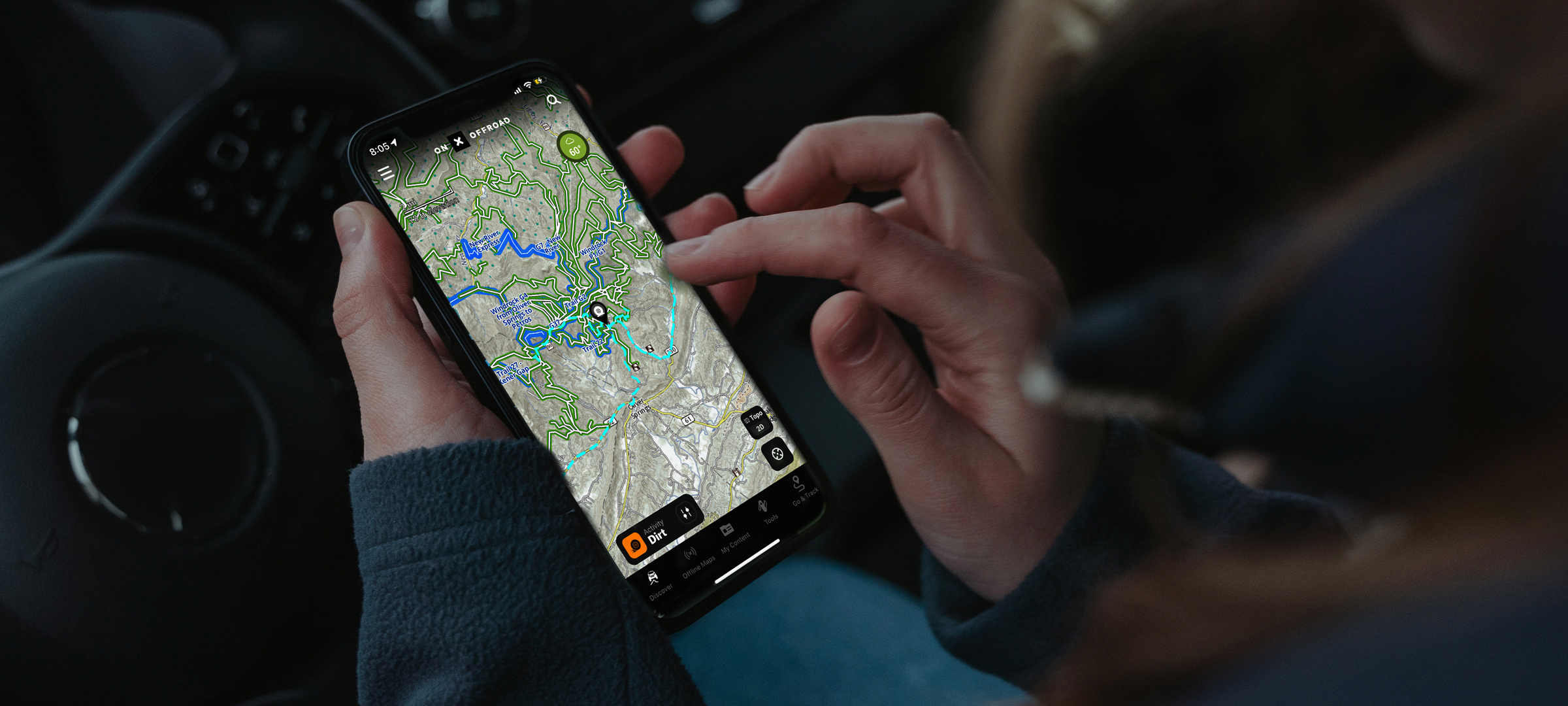
As they began to build their multi-leg overland routes, the Teams used onX Offroad to help identify appropriate trails in the areas they wanted to explore. The app made it easy for them to find the kind of trails they wanted to drive with just the right level of technical challenge — or in some cases, just a perfectly relaxed scenic drive. It was particularly helpful for competitors exploring in areas that they were not already familiar with, because onX Offroad “suggests” trails near the location the user is searching in, offering up a set of options for consideration.
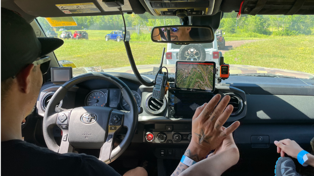
Once they hit dirt, the Nomad Teams used onX Offroad to navigate and also to record their tracks as they went about their Overland Stages. Every team had to submit “proof” of their travels, including their recorded track for each Stage, to establish that they did the trip during the event timeframe. onX Offroad made it easy to document the competitors’ routes and confirm they completed any required tasks along the way — even when they had no cellular signal or access to wifi.
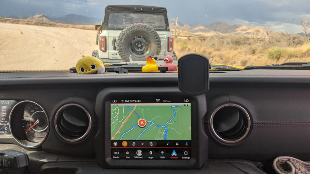
While Teams were not required to use onX Offroad in order to participate in the event, many of them quickly found the app to be a great navigational tool, and used it regularly while out on the trails. The fact that it works seamlessly with Apple CarPlay and Android Auto made it convenient as a primary on-board map resource for several Teams.
The Teams also had specific navigation and driving challenges where they used features of the onX Offroad app to complete the required series of tasks. For the “Scouting a Trail” task, competitors had to drive a trail marking waypoints and making detailed notes en route. Teams attempting this challenge used the app to save and label their waypoints, adding notes and photos if necessary, before sharing their completed track with Rally Officials to obtain the allotted points.
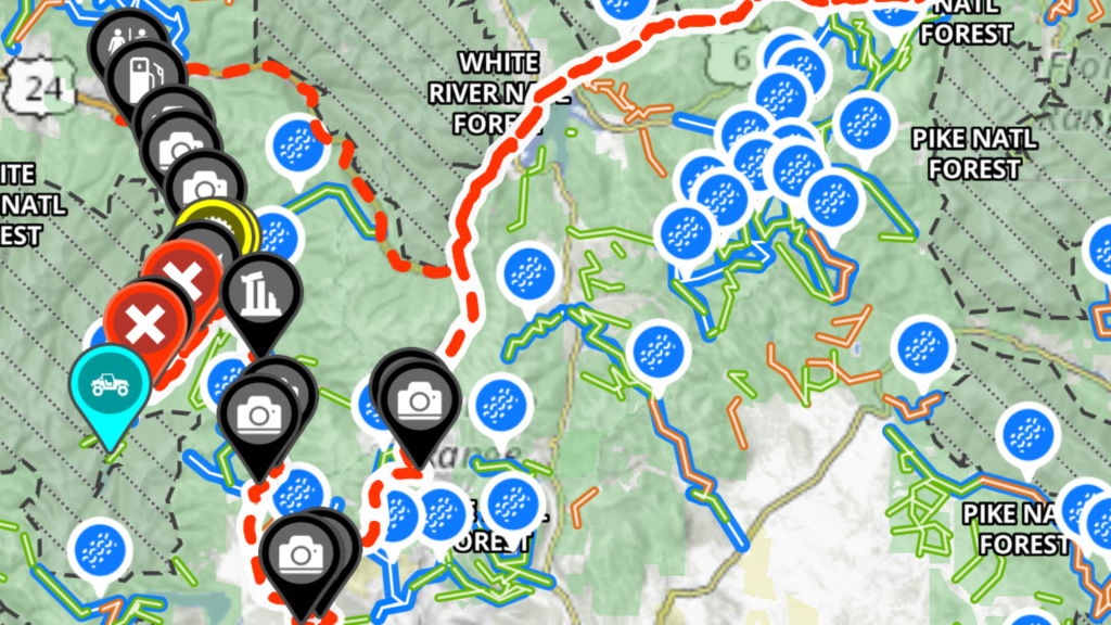
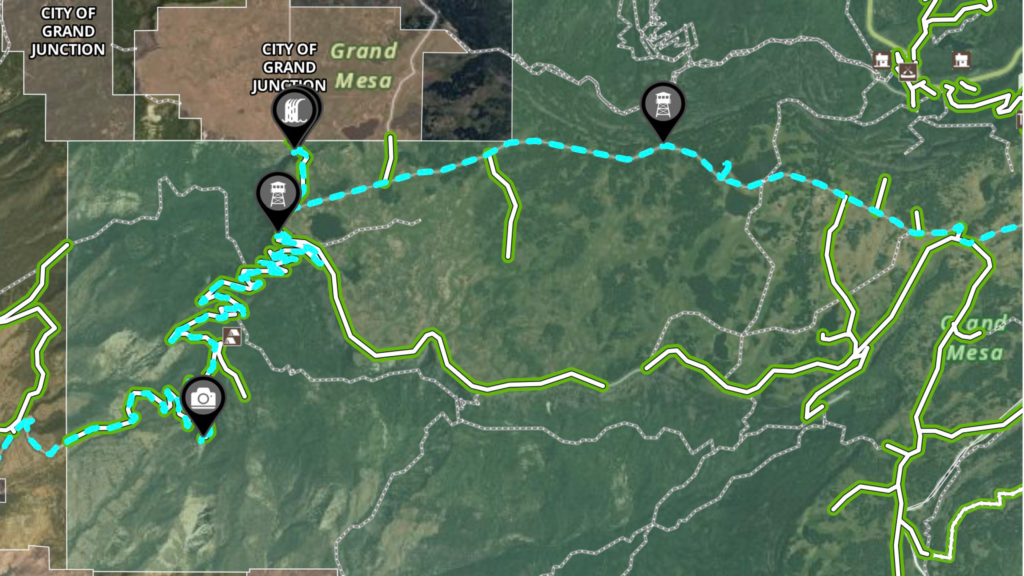
The Teams were also able to earn additional points for exploring one of onX Offroad’s “Featured Trails” (these are the trails shown in “blue” on the app, which have full guidebook level data about the trail) during their travels. Several Teams took advantage of this opportunity to discover a new-to-them trail while adding to their points total.
Many of the Nomad Teams were new to the onX Offroad platform at the start of the Rally, but all quickly learned how to use it. Though some competitors who were used to other navigational platforms were initially a bit skeptical of an unfamiliar app, onX Offroad proved to be a great resource for navigation, information and planning.