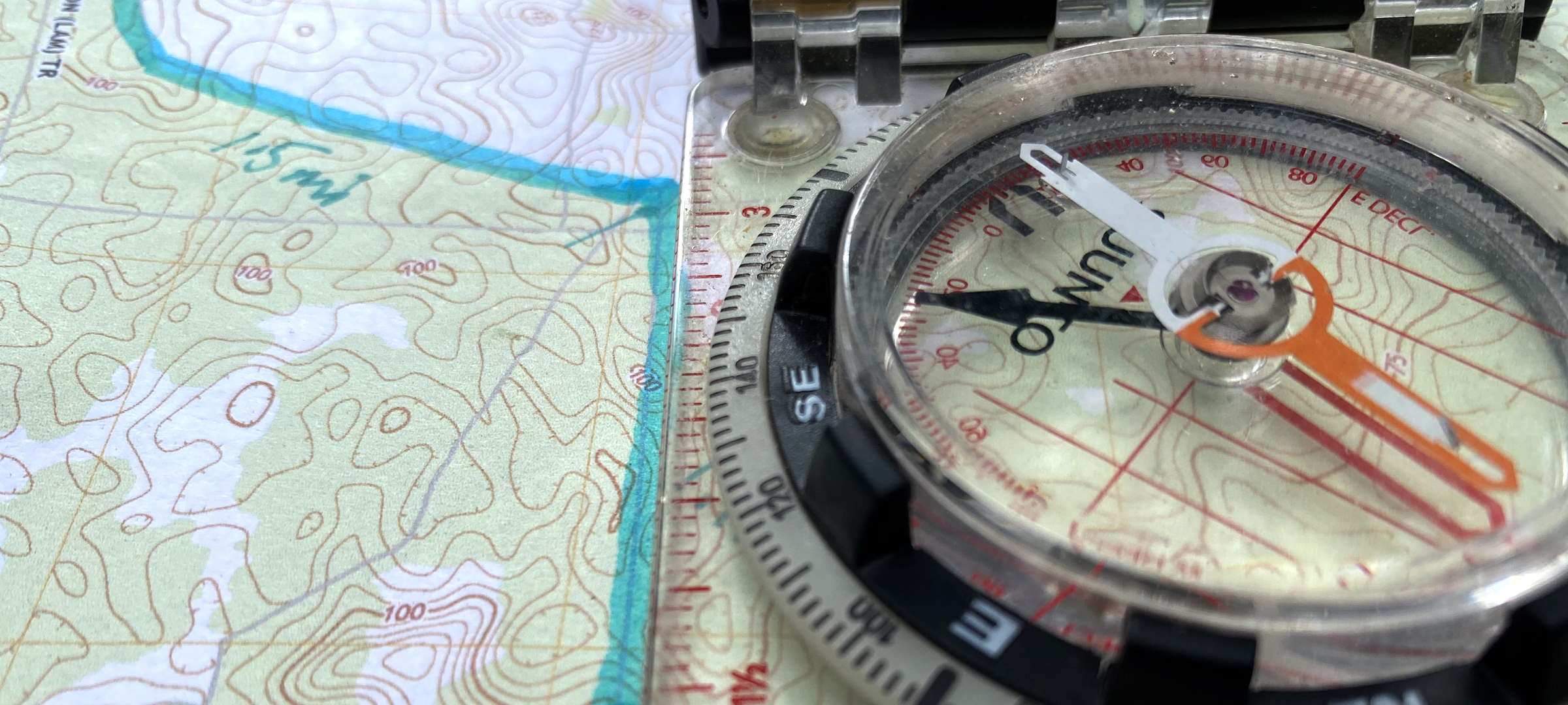
August 5, 2022 – USA: The ninth Weekly Challenge of the Nomad Overland Virtual Adventure Rally gives competitors a chance to show how well they understand maps and are able to plot coordinates in different ways. The Nomad Teams are given a topo map and a list of locations to plot. Some of the locations are presented in the standard way — Latitude/Longitude in Degrees, Minutes and Seconds — while for other locations the competitors will need to use a compass heading and a distance to determine the point on the map.
Once they have plotted all the locations, they are asked a series of questions about the waypoints and must read distances and headings off the lines they drew on the paper map. This exercise is an advanced skills challenge that forces competitors to be precise, as they only have a margin of error of 3/10ths of a mile on distances and four degrees on headings.
The Weekly Challenges are one of the four pillars of the Nomad Overland Virtual Adventure Rally and competitors can earn up to 100 points each week for completing the Challenge questions online. The Challenges also provide a way for all the teams to stay engaged over the whole ten weeks, even when they are not out exploring on Overland Stages. Each Week’s Challenge focuses on a different aspect of overland travel or outdoor skills — sometimes the competitors will have to do something offline in order to answer the questions and other times they just need to respond to multiple choice knowledge-checks. The teams are always free to research answers or find tutorials to help them complete the tasks prior to submitting their Challenges and once each Challenge “closes” they can consult the “correct” answers and explanations — turning it into a defacto learning opportunity.